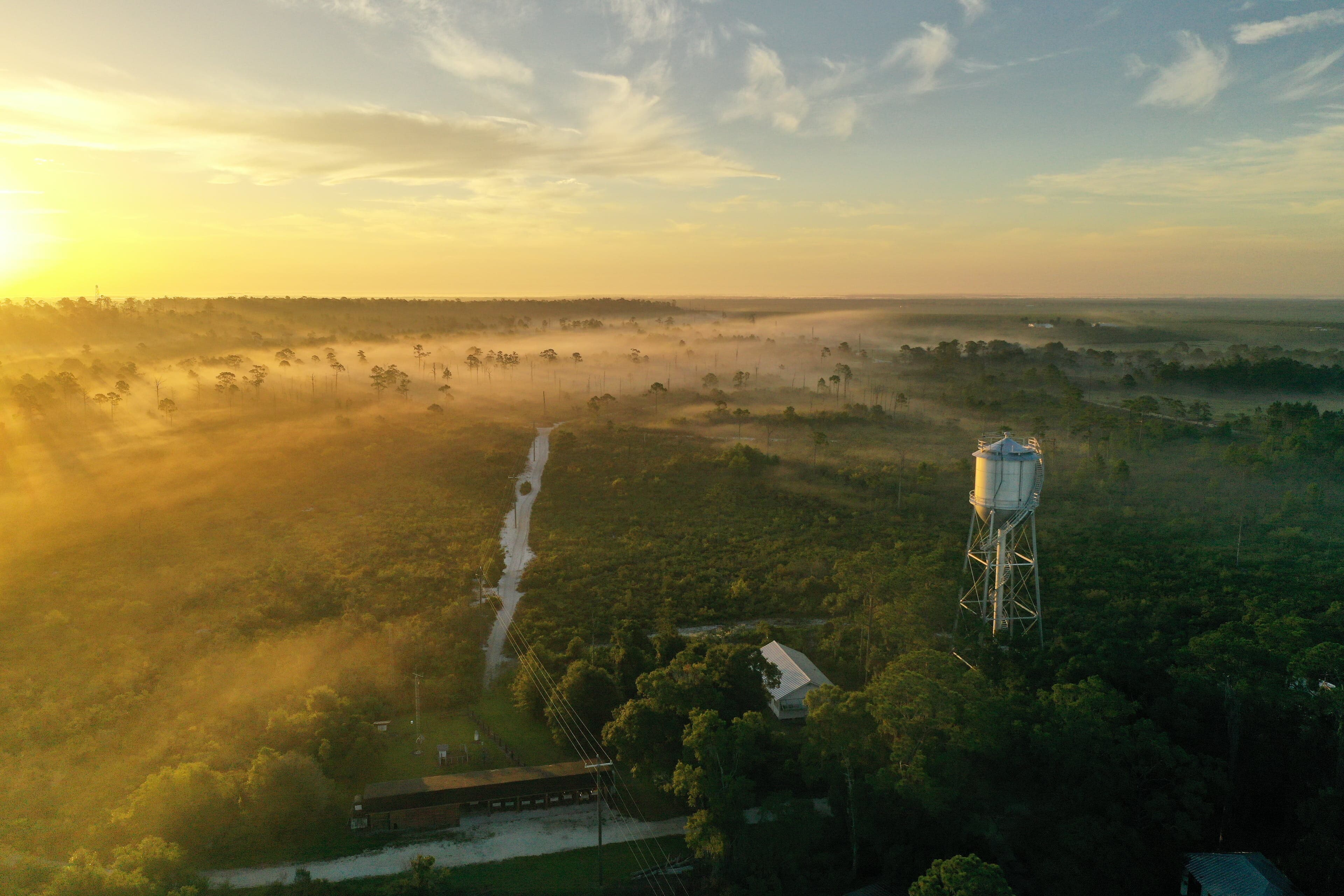
 Photo by Kevin Main
GIS and Data Management
-1.jpg&w=3840&q=75)
Archbold's GIS and Data Management Program provides strategic input towards spatial and non-spatial data needs of research and monitoring projects.
We work alongside Archbold researchers and conservationists to lead, analyze, develop, and implement innovative technical strategies in support of Archbold’s mission.
We gather, generate, manage, interpret, and display spatial and non-spatial data for multiple research, conservation, education, development, and operations purposes.
We support project design, data management, and perform advanced spatial analysis, cartography, and data visualization for new and long-term ongoing research projects conducted by Archbold scientists, collaborators, and partner organizations.
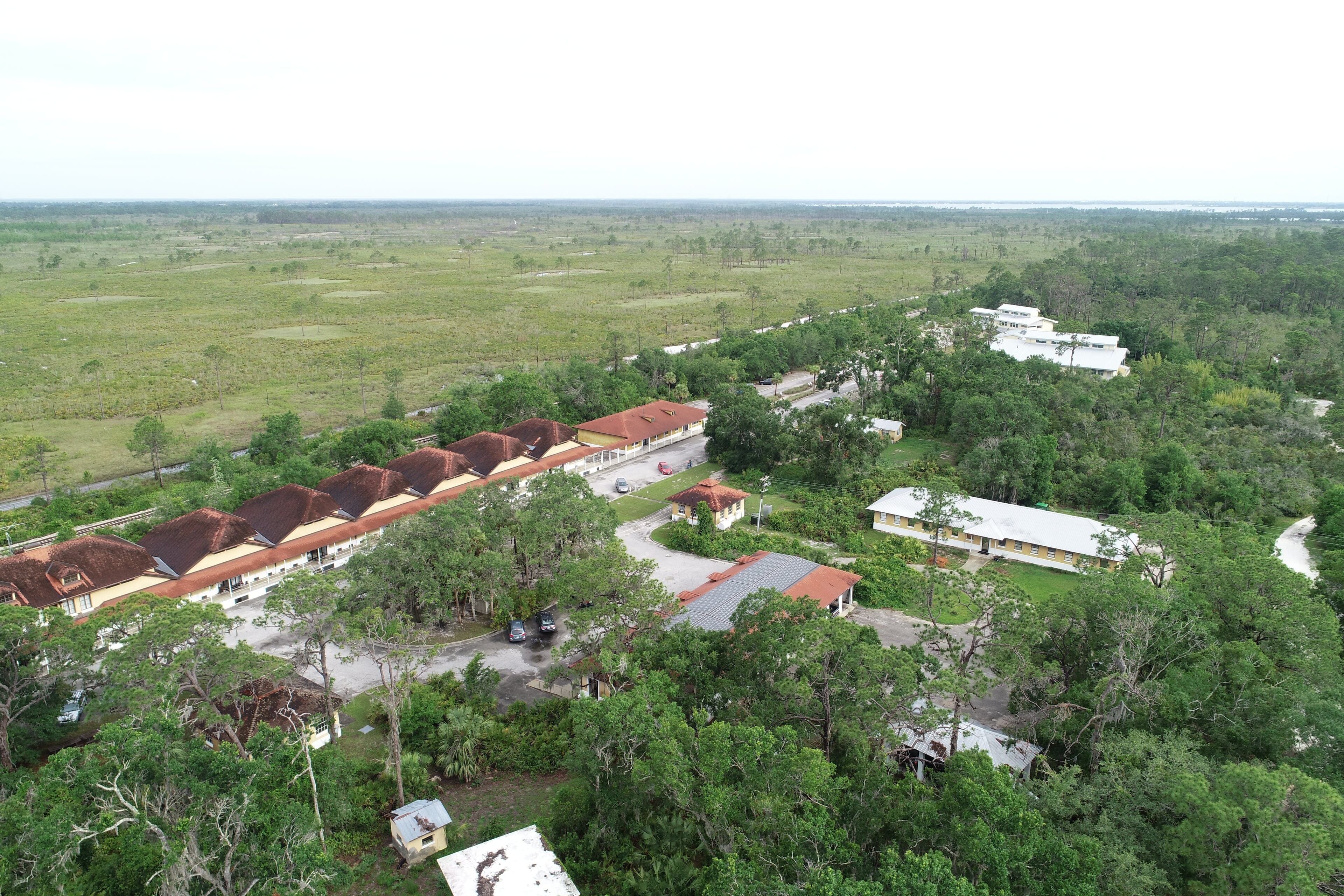 Photo by Paul Ruben
Data Access
For access to specific research data, please contact the associated Program Director. See below for our publicly available datasets.
*Please note that these are works in progress and will continually be updated through the life of the program.
Other datasets collected at Archbold
Environmental Data Initiative (EDI) Published Data
Long-term Agroecosystem Research Network (LTAR) Data Inventory
Consortium of Universities for the Advancement of Hydrologic Science, Inc (CUAHSI) Lake Annie data
NOAA Climate Reference Network (CRN)
FL Department of Environmental Protection (DEP) Ozone
FL Department of Environmental Protection (DEP) STORET Public Access Website
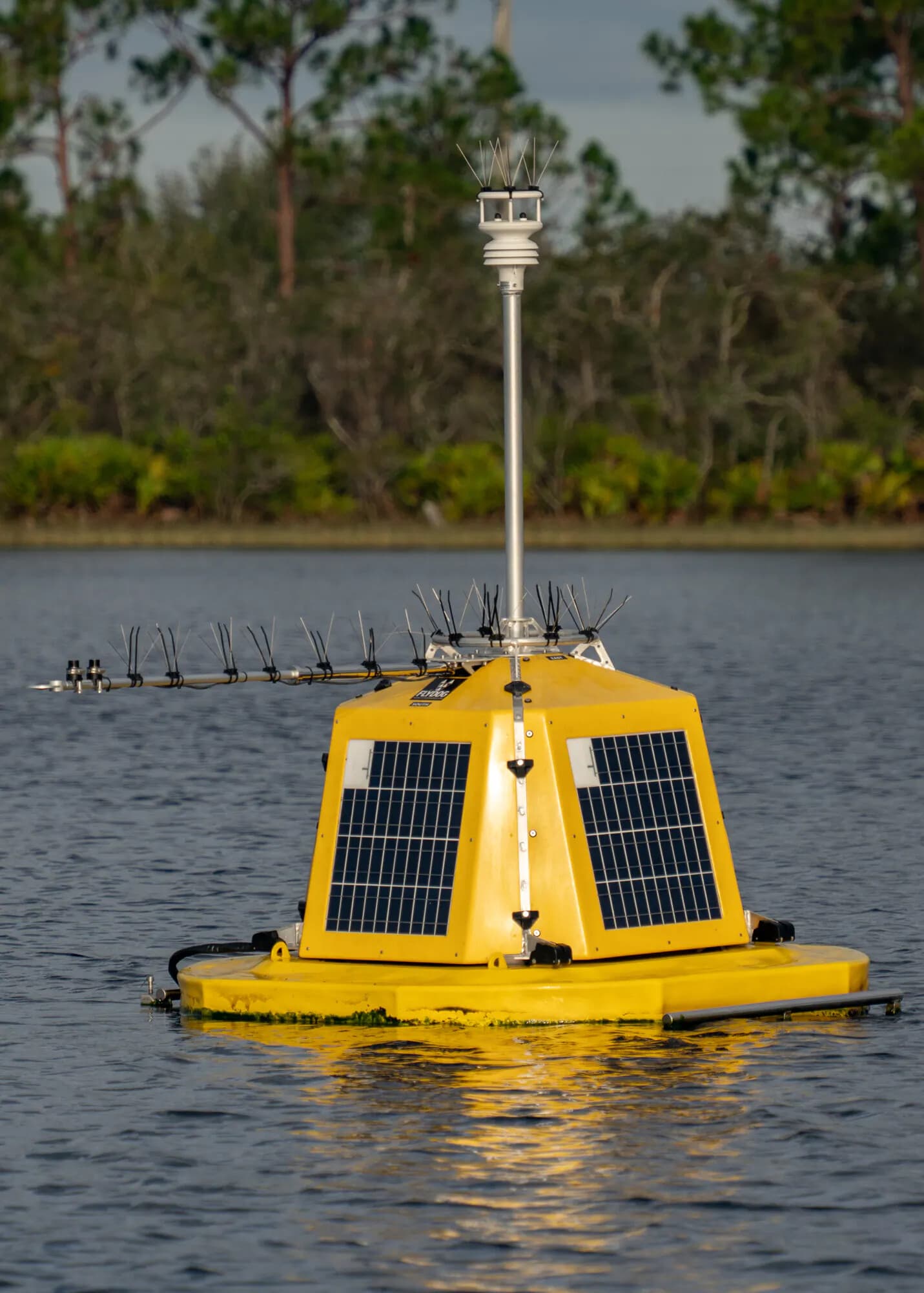 Photo by: Kevin Main
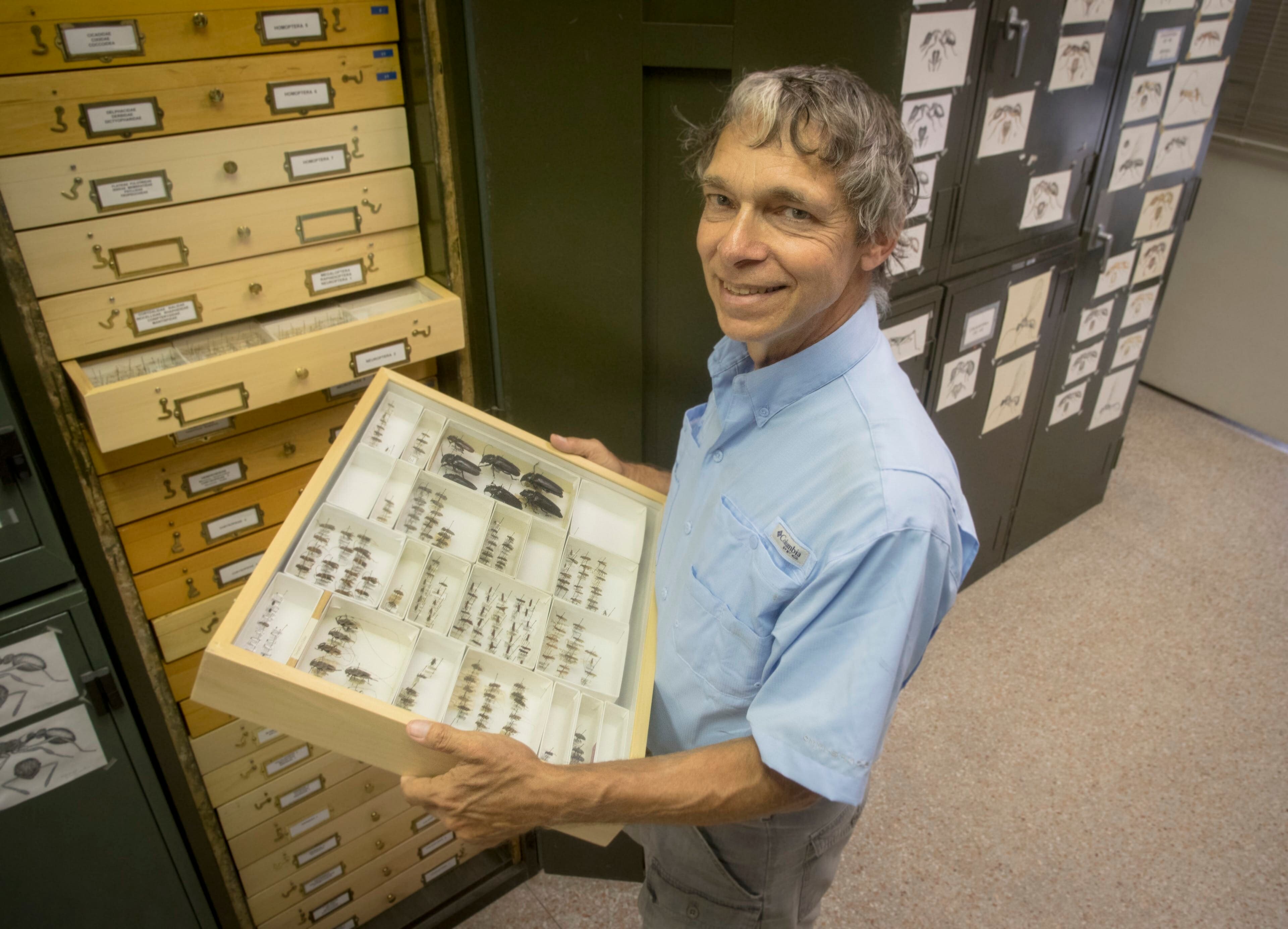
Explore the Archbold Natural History Collection
GIS & Data Management
Program members
Loading data
No data
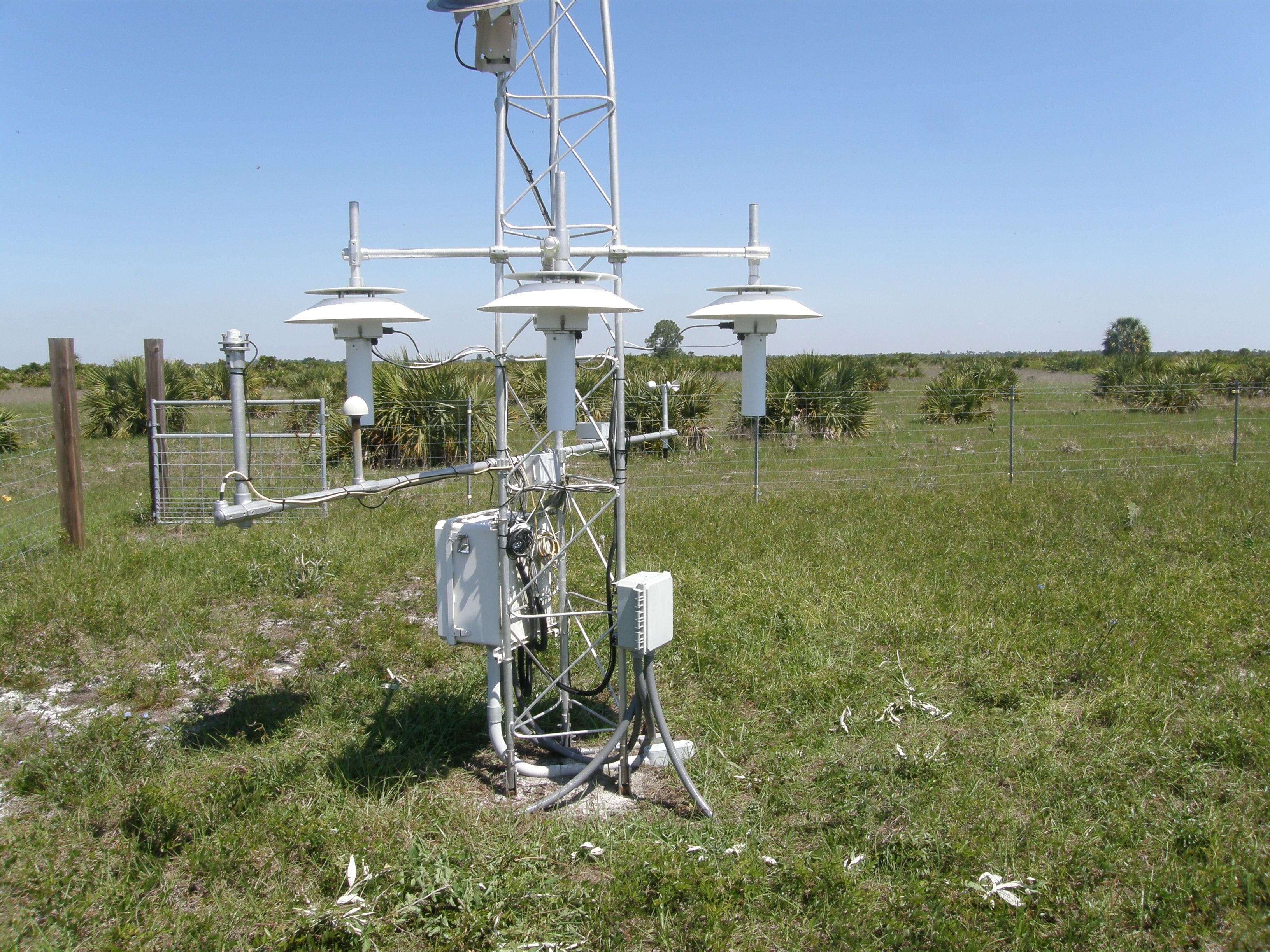 NOAA Climate Reference Network (CRN) Station at Archbold